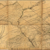
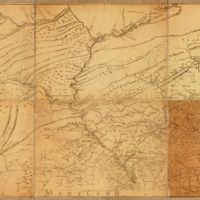
To The Honerable Thomas Penn And Richard PEnn, Esqurs., True & Absolute Proprietaries & Governours of the Province of Pennsylvania & Counties of New-Castle, Kent & Sussex on Delaware This Map of the Improved Part of the Province of Pennsylvania
Dublin Core
Title
To The Honerable Thomas Penn And Richard PEnn, Esqurs., True & Absolute Proprietaries & Governours of the Province of Pennsylvania & Counties of New-Castle, Kent & Sussex on Delaware This Map of the Improved Part of the Province of Pennsylvania
Description
This is one of the most famous maps of the state and sometimes considered the first to present all of the state itself, but it only extends west to just past the Allegheny Front and north to the Wyoming Valley. It also appeared as several plates in A general topography of North America and the West Indies (from 1755 to 1759 Pennsylvania Maps).
Creator
Nicolos Scull
Date
Jan. 1st 1759
Identifier
Aa0104z002
Files
Collection
Citation
Nicolos Scull, “To The Honerable Thomas Penn And Richard PEnn, Esqurs., True & Absolute Proprietaries & Governours of the Province of Pennsylvania & Counties of New-Castle, Kent & Sussex on Delaware This Map of the Improved Part of the Province of Pennsylvania,” Stories of the Susquehanna Valley, accessed May 3, 2024, http://ssv.omeka.bucknell.edu/omeka/items/show/27.

